

File:Aeroporto do Galeão visto da Igreja da Penha.jpg
Size of this preview: 640 × 427 pixels.
| |
This is a file from the Wikimedia Commons. Information from its description page there is shown below.
Commons is a freely licensed media file repository. You can help. |
Summary
|
Camera location |
|
View this and other nearby images on: Google Maps - Google Earth - OpenStreetMap | ( Info) |
|---|
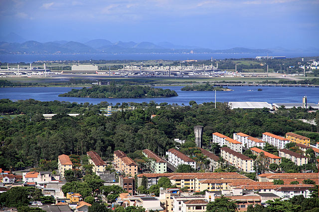
| Description |
Português: No Canal do Fundão são vistas as Ilhas do Raimundo e Santa Rosa. O mapa de Albernaz de 1666 chama de Ilha da Pedra sendo a referência para o Engenho da Pedra. Hoje estão na frente da Área de Proteção Ambiental da Fazendinha da Pedra.
|
| Date | 11 December 2011 |
| Source | Own work |
| Author | Halley Pacheco de Oliveira |
Santuário de Nossa Senhora da Penha - Largo da Penha, 19 – Penha - CEP. 21070-560, Rio de Janeiro, RJ - Brasil - Telefone: 3219-6262
Licensing
|
File usage
The following pages on Schools Wikipedia link to this image (list may be incomplete):
Metadata
What is Schools Wikipedia?
SOS Childrens Villages aims to make Wikipedia suitable for young learners. Our 500 Children's Villages provide a home for thousands of vulnerable children. Beyond our Villages, we support communities, helping local people establish better schools and delivering effective medical care to vulnerable children. Have you heard about child sponsorship? Visit our web site to find out.