

File:Karte Mesopotamien.png
Size of this preview: 640 × 452 pixels.
| |
This is a file from the Wikimedia Commons. Information from its description page there is shown below.
Commons is a freely licensed media file repository. You can help. |
| Description |
العربية: خريطة بلاد الرافدين
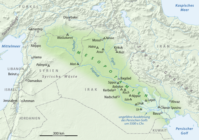
Deutsch: Karte von Mesopotamien
English: Map of Mesopotamia
|
| Date | 05.02.2008 |
| Source | self-made, using
|
| Author | NordNordWest |
This map has been made or improved in the German Kartenwerkstatt (Map Lab). You can propose maps to improve as well.
Licensing
|

File usage
The following pages on Schools Wikipedia link to this image (list may be incomplete):
Metadata
Learn more about Schools Wikipedia
Wikipedia for Schools was collected by SOS Children's Villages. SOS Childrens Villages believes that a decent childhood is essential to a happy, healthy. Our community work brings families new opportunities through education, healthcare and all manner of support. Will you help another child today?