Grafika:5 Boroughs Labels New York City Map Julius Schorzman.png
Z Wikipedii
Rozmiar podglądu: 616 × 600 pikseli
Obraz w wyższej rozdzielczości (2 652 × 2 582 pikseli, rozmiar pliku: 6,5 MB, typ MIME: image/png)
| | Plik 5 Boroughs Labels New York City Map Julius Schorzman.png [ edytuj opis ] umieszczony jest w Wikimedia Commons, repozytorium wolnych zasobów projektów Fundacji Wikimedia. Wyjaśnienie podanej poniżej licencji znajdziesz na stronie Opisy licencji grafiki. |
[edit] Summary
| Description |
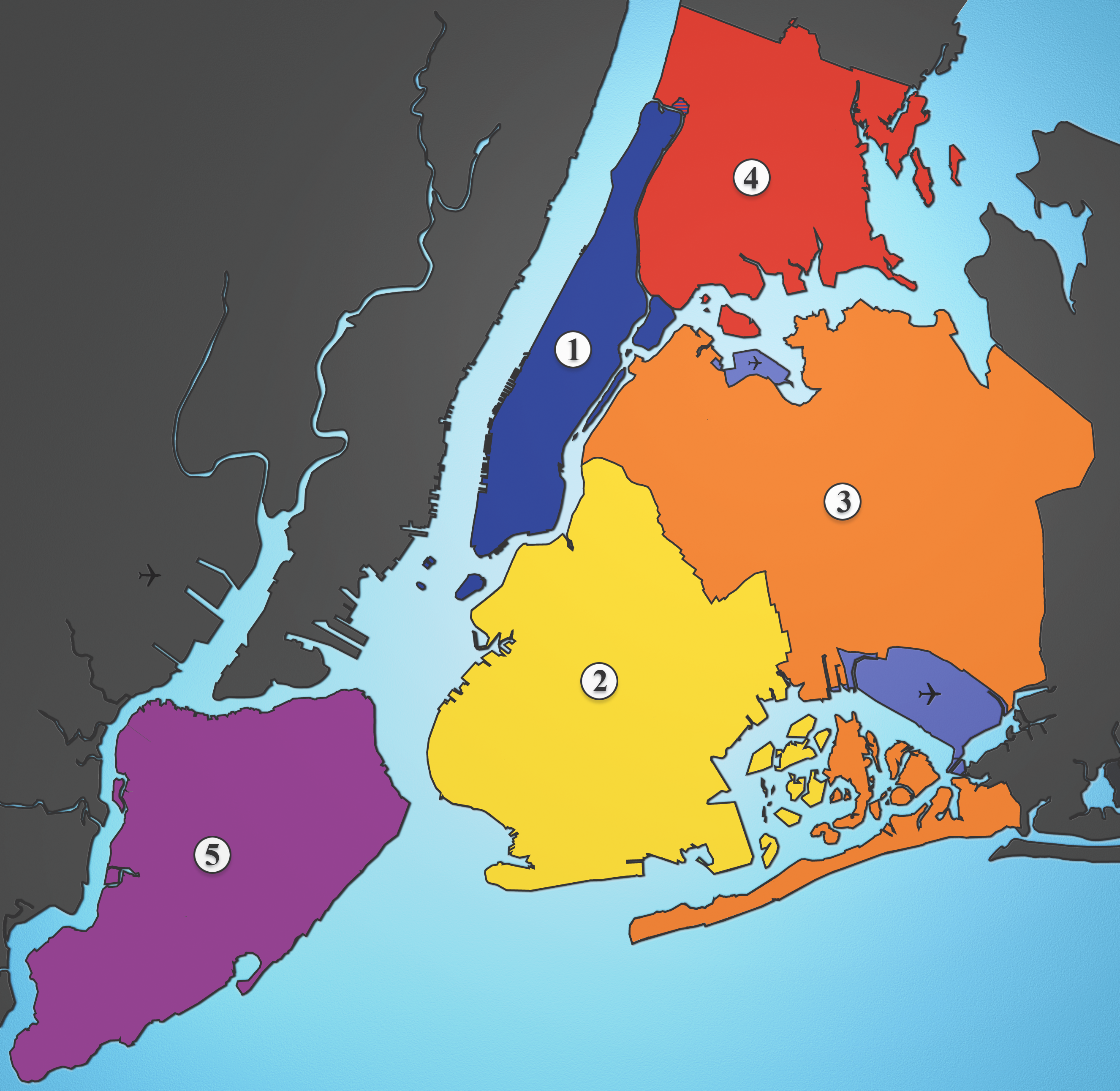
A map showing the five boroughs of New York City, as well as airports. Airports: North East: LGA; South East: JFK; West: EWR |
|---|---|
| Source |
I created this image using various maps and images. |
| Date |
2005-08-18 |
| Author | |
| Permission (Reusing this image) |
see below |
[edit] Licensing
| This file is licensed under the Creative Commons Attribution ShareAlike 2.5 License. In short: you are free to share and make derivative works of the file under the conditions that you appropriately attribute it, and that you distribute it only under a license identical to this one. Official license |
Historia pliku
Kliknij na datę/czas, aby zobaczyć, jak plik wyglądał w tym czasie.
| Data/czas | Wymiary | Użytkownik | Opis | |
|---|---|---|---|---|
| aktualny | 04:21, 19 sie 2005 | 2 652×2 582 (6,5 MB) | Quasipalm | (A map showing the five boroughs of New York City, as well as airports. # Manhattan # Brooklyn # Queens # Bronx # Staten Island Airports: Nort East: LGA Sout East: JFK West: EWR Source: I created this image using various maps and images. {{cc-by-sa-2.5}) |
Odnośniki do pliku
Następujące strony odwołują się do tego pliku:

