

File:Nepal (orthographic projection).svg
Size of this preview: 480 × 480 pixels.
| |
This is a file from the Wikimedia Commons. Information from its description page there is shown below.
Commons is a freely licensed media file repository. You can help. |
| Description |
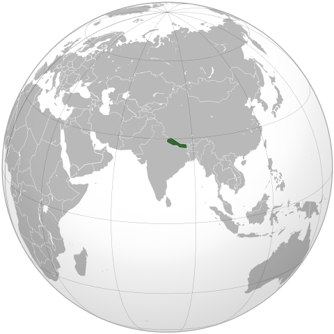
English: Locator map of Nepal in orthographic projection
|
| Date | 5 October 2009 |
| Source |
English: Based on File:India_(orthographic_projection).svg by user:Ssolbergj
|
| Author | Shahid Parvez. Based on a file by en:User:Ssolbergj |
Licensing
| |
The map has been created with the Generic Mapping Tools: http://gmt.soest.hawaii.edu/ using one or more of these public domain datasets for the relief:
|
 |
Permission is granted to copy, distribute and/or modify this document under the terms of the GNU Free Documentation License, Version 1.2 or any later version published by the Free Software Foundation; with no Invariant Sections, no Front-Cover Texts, and no Back-Cover Texts. A copy of the license is included in the section entitled GNU Free Documentation License.
|
Original upload history
This file was originally uploaded at en.wikipedia as Nepal (orthographic projection).svg, before it was transfered to Commons.
| Upload date | User | Bytes | Dimensions | Comment |
|---|---|---|---|---|
| 2009-10-05 17:31:42 | Parvez gsm | 513232 | 541×541 | {{Information |Description = Nepal orthographic_projection |Source = I have created this work entirely by myself. |Date = October 5th,2009 |Author = Shahid Parvez |other_versions = }} |
File usage
The following pages on Schools Wikipedia link to this image (list may be incomplete):
Metadata
More information
SOS Children chose the best bits of Wikipedia to help you learn. SOS Childrens Villages believes that a decent childhood is essential to a happy, healthy. Our community work brings families new opportunities through education, healthcare and all manner of support. Have you thought about sponsoring a child?