

File:Abernethy Tower.jpg
Size of this preview: 340 × 480 pixels.
| |
This is a file from the Wikimedia Commons. Information from its description page there is shown below.
Commons is a freely licensed media file repository. You can help. |
Summary
| Description |
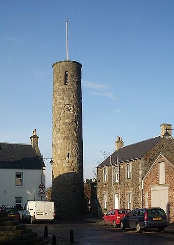
English: Abernethy Tower
|
| Date | 20 November 2005 |
| Source | From geograph.org.uk |
| Author | Lis Burke |
| Permission ( Reusing this file) |
Creative Commons Attribution Share-alike license 2.0 |
|
Camera location |
|
This and other images at their locations on: Google Maps - Google Earth - OpenStreetMap | ( Info) |
|---|
Licensing
 |
This image was taken from the Geograph project collection. See this photograph's page on the Geograph website for the photographer's contact details. The copyright on this image is owned by Lis Burke and is licensed for reuse under the Creative Commons Attribution-ShareAlike 2.0 license. |
| This file is licensed under the Creative Commons Attribution-Share Alike 2.0 Generic license. | ||
| Attribution: Lis Burke | ||
|
File usage
The following pages on Schools Wikipedia link to this image (list may be incomplete):
Background information
Wikipedia for Schools is one of SOS Children's many educational projects. Thanks to SOS Children's Villages, 62,000 children are enjoying a happy childhood, with a healthy, prosperous future ahead of them. You can help by sponsoring a child.