

File:Cy60 en.jpg
Size of this preview: 640 × 385 pixels.
| |
This is a file from the Wikimedia Commons. Information from its description page there is shown below.
Commons is a freely licensed media file repository. You can help. |
|
Warning |
Some browsers may have trouble displaying this image at full resolution: This image has a large number of pixels and may either not load properly or cause your browser to freeze. | Interactive large-image-viewer ( non-Flash) |
|---|
| Description |
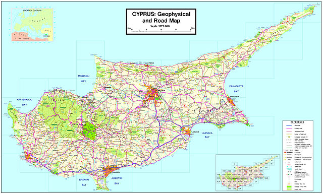
English: Map of Cyprus showing all Municipalities and communities with over 750 people (government-controlled area, 2001 census) or over 500 people (Turkish-occupied areas, 1960 census), as well as 34 former Improvement Boards with population less than 500/750 people. The map was designed by Alexander-Michael Hadjilyra
|
| Date | 2007 (27 May 2007 (first version); 4 October 2009 (last version)) |
| Source | Transferred from en.wikipedia; transferred to Commons by User:Sreejithk2000 using CommonsHelper. (Original text : Author) |
| Author | Alexander-Michael Hadjilyra ( User:Neo ^). Original uploader was Neo ^ at en.wikipedia |
| Permission ( Reusing this file) |
Released into the public domain (by the author). |
Licensing
 |
This work has been released into the public domain by its author, Neo ^ at the wikipedia project. This applies worldwide. In case this is not legally possible: |
File usage
The following pages on Schools Wikipedia link to this image (list may be incomplete):
Metadata
Find out more
Through Schools Wikipedia, SOS Children's Villages has brought learning to children around the world. Our 500 Children's Villages provide a home for thousands of vulnerable children. Beyond our Villages, we support communities, helping local people establish better schools and delivering effective medical care to vulnerable children. There are many ways to help with SOS Children's Villages.