

File:Karte Bundesrepublik Deutschland.svg

Size of this preview: 354 × 479 pixels.
| |
This is a file from the Wikimedia Commons. Information from its description page there is shown below.
Commons is a freely licensed media file repository. You can help. |
Clickable version

| Description |
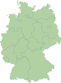
Deutsch: Karte der Bundesrepublik Deutschland mit eingezeichneten Grenzen der Bundesländer.
|
|||||
| Date | 14 October 2006 | |||||
| Source | Erstellt aus Material des gemeinsamen Datenangebotes aus dem gemeinsamen Portal der statistischen Ämter des Bundes und der Länder (DeStatis). | |||||
| Author | Portal der statistischen Ämter des Bundes und der Länder (DeStatis); David Liuzzo. | |||||
| Permission ( Reusing this file) |
|

File usage
The following pages on Schools Wikipedia link to this image (list may be incomplete):
Metadata
More information
Schools Wikipedia was launched to make learning available to everyone. SOS Children's Villages works in 133 countries and territories across the globe, helps more than 62,000 children, and reaches over 2 million people in total. Try to find out how you can help children in other countries on our web site.