

File:British Empire 1921 IndianSubcontinent.png
Size of this preview: 640 × 281 pixels.
| |
This is a file from the Wikimedia Commons. Information from its description page there is shown below.
Commons is a freely licensed media file repository. You can help. |
Summary
| Description |
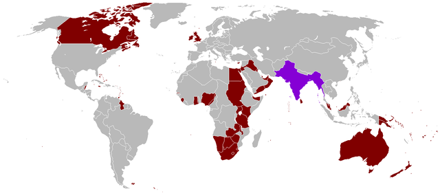
English: A map of the British Empire in 1921 when it was at its height with British Raj indicated when it too was at its height as well.
|
||
| Date | Uploaded on 27 August 2008, 21:41. | ||
| Source | Own work. | ||
| Author | Vadac. | ||
| Permission ( Reusing this file) |
|

 |
This map image could be recreated using vector graphics as an SVG file. This has several advantages; see Commons:Media for cleanup for more information. If an SVG form of this image is already available, please upload it. After uploading an SVG, replace this template with {{ vector version available|new image name.svg}}. |
File usage
The following pages on Schools Wikipedia link to this image (list may be incomplete):
Learn more
SOS Childrens Villages has brought Wikipedia to the classroom. More than 2 million people benefit from the global charity work of SOS Children's Villages, and our work in 133 countries around the world is vital to ensuring a better future for vulnerable children. We have helped children in Africa for many years - you can help too...