

File:UK of Britain & Ireland in Europe.png
Size of this preview: 469 × 479 pixels.
| |
This is a file from the Wikimedia Commons. Information from its description page there is shown below.
Commons is a freely licensed media file repository. You can help. |
Summary
| Description |
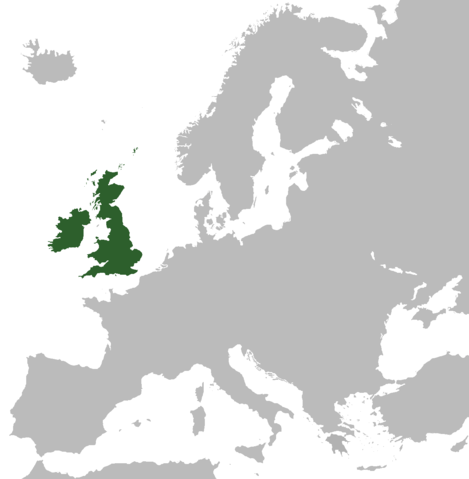
A map highlighting the (former) United Kingdom of Great Britain and Ireland within Europe. |
| Date | 29 March 2009 |
| Source | Own work, based on File:Blank map Europe without borders.png |
| Author | User:Asarlaí |
Licensing
|

File usage
The following pages on Schools Wikipedia link to this image (list may be incomplete):
Metadata
I want to learn more...
SOS Children's Villages has brought Wikipedia to the classroom. By supporting vulnerable children right through to adulthood, SOS Childrens Villages makes a lasting difference to the lives of thousands of people. Education is a key part of our work, and our schools provide high-quality teaching to the children in our care. Sponsoring a child is a great way to help children who need your support.