

File:Regions of Eritrea.svg
| |
This is a file from the Wikimedia Commons. Information from its description page there is shown below.
Commons is a freely licensed media file repository. You can help. |
Summary
| Description |
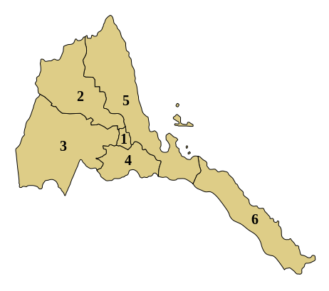
English: SVG map showing the regions of Eritrea
|
| Date | 19 June 2012 |
| Source | Own work |
| Author | Matthew Groat |
Licensing
|
File usage
The following pages on Schools Wikipedia link to this image (list may be incomplete):
Metadata
Find out more
Schools Wikipedia was launched to make learning available to everyone. SOS Children's Villages works in 133 countries and territories across the globe, helps more than 62,000 children, and reaches over 2 million people in total. You can help by sponsoring a child.